


We’re not from the future, but our business lives there
Ball is focused on results, not recognition.
We’re the first aluminum can manufacturer to adopt science-based emissions targets. We invented the aluminum cup making a recycling difference in thousands of stores and sport venues.
At Ball, we’re always investing, improving and redefining our business to become the most sustainable organization in the packaging industry. We innovate to make a positive difference for the planet and all people.

The Ball Blueprint
Our People. Our Culture. Our Values.
We make today’s products without borrowing from future generations. Sustainability is embedded in our strategic planning from the bottom up and incorporated into our long-term targets. Environmental and social responsibility are the foundation of our vision, which defines Ball’s historically proven strengths in packaging and engineering innovation.
By improving our materials stewardship — taking ownership of the aluminum we use over many generations of cans, bottles and cups — we create value for our shareholders, for all people and the planet.

True Circularity
We’re on a mission, and we need you.
We’re moving forward to a healthier planet for everyone by investing to improve recycling in the communities we serve. We’re setting out to increase the recycled material content in our aluminum cans to 85 percent by 2030. We can’t do it on our own. We partner with suppliers, customers, policy makers and others. That’s our mission – and we’re asking for your help.

Climate Leadership
Ball’s 1.5° science-based target is set
In 2019 we set an ambitious target of a 55 percent absolute reduction in Ball’s operational greenhouse gas (GHG) emissions by 2030, despite expectations that our business would experience unprecedented growth this decade. Here’s how we’ll achieve it.

Social Impact
It isn’t only about the environment.
With the help of our dedicated employees, dynamic partners and the Ball Foundation, we are committed to make positive social impacts for our employees — and in the communities where we live and work.

Hold Us To Our Word
Sustainability is more than a promise, it’s a Ball business requirement that we track every day. We update the public with detailed reporting about our progress across our packaging businesses every year. Ball is recognized for its leadership, earning the first Aluminum Stewardship Initiative certification by a can maker in 2023.

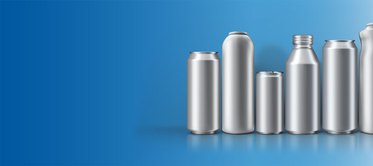
Why Aluminum?
It's infinitely recyclable.
Aluminum is one of the most recycled – and most recyclable – materials on Earth. Nearly 75 percent of all aluminum ever produced is still in use today. Aluminum cans, bottles, cups and aerosol packaging are equally recyclable regardless of color, design or format. We deliver infinite design possibilities for brands that want sustainability without compromise.
That’s just one reason Ball is proud to be the global leader in aluminum packaging.